


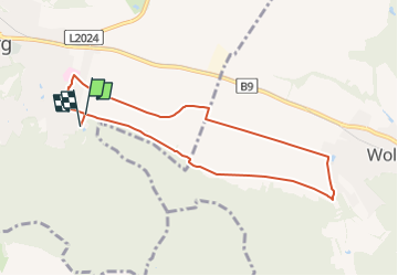

5,3 km | 7 km-effort

Tous les sentiers balisés d’Europe PRO


Applicazione GPS da escursionismo GRATUITA
 SityTrail
IGN / Istituti geografici
SityTrail World
Il mondo è tuo
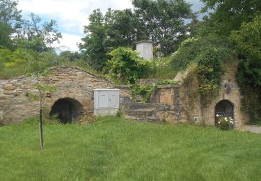
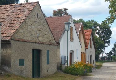
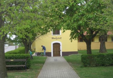
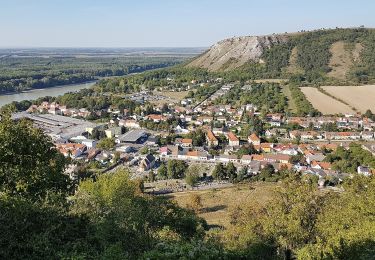
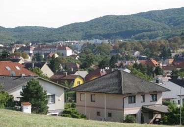
Percorso A piedi di 7,8 km da scoprire a Bassa Austria, Bezirk Bruck an der Leitha, Hainburg an der Donau. Questo percorso è proposto da SityTrail - itinéraires balisés pédestres.
Symbol: gruen


A piedi
A piedi
A piedi
A piedi
A piedi
A piedi
A piedi
A piedi

A piedi